I have greatly appreciated the National Weather Service’s new swell forecasts that the agency has released over the course of the winter (or semi-winter) so far. February is about half over as I write this column, and despite a couple of nasty cold snaps, there has been very few instances of real cold on the Eastern Seaboard. This has made some things easier, with icing not being a concern.
Unfortunately, there has been a lot of very chaotic marine weather to contend with in place of the cold, which is unusual. Of course, there is always some natural variation, but spring and fall are generally expected to be the unpredictable disrupters, with summer and winter being the most stable seasons of the year. Once fully established they usually settle into a relatively predictable groove that makes short-to-medium distance coastwise voyage planning simple. During the winter, the weather normally kicks up preceding the arrival of a cold front, with unobstructed winds from the easterly quadrant tormenting us the most. Once the fronts pass the winds shift behind them and eventually die down. Sometimes they’re not strong enough to deter us, but other times you need to wait them out. We typically move up and down the coast between these regular systems, pausing as needed to let conditions improve before leaving sheltered waters.
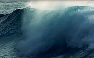
But this winter that pattern has been absent, replaced by no discernible pattern at all, just an endless series of chaotic movements of air masses. The net effect of this has been a lot like playing dodgeball with much more offshore swell than I’m used to seeing in this region in winter. And this affects operations.
When combined wave heights are higher than the freeboard of your barge, you will encounter water on the decks. Too much water on deck for too long, especially “green water,” can lead to equipment damages and possible cargo contamination. The NWS swell forecasts that provide us with the swell size, direction, and period information has been a big help in avoiding negative outcomes.


