

NOAA and the New York State Department of Environmental Conservation (NYSDEC) have launched the Hudson River Estuary Physical Oceanographic Real-time System (PORTS®) intended to enhance maritime safety and resource management along the river. A NOAA press release said this system provides real-time oceanographic and meteorological data accessible to commercial mariners, recreational boaters, and coastal planners from Sleepy Hollow to Troy, N.Y.
The Hudson River Estuary PORTS® is the second system of its kind in the state, complementing the New York-New Jersey Harbor PORTS® located 100 miles south. The new system currently consists of a single water level station at Turkey Point, near Saugerties, N.Y. This station is part of the Hudson River National Estuarine Research Reserve, managed by NYSDEC. NOAA states that the data collected will help fill gaps in maritime monitoring and expand coverage to the tidal portions of the Hudson River north of the Mario M. Cuomo Bridge.
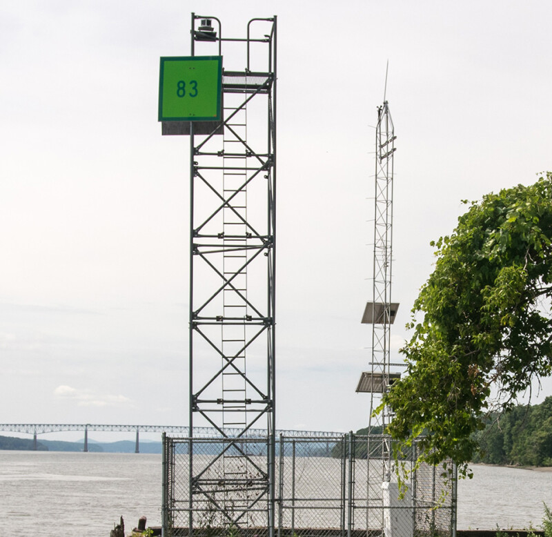
NOAA states the Turkey Point station is equipped with advanced pressure-based and microwave water level sensors, satellite transmitters, and solar-powered rechargeable batteries. The redundant design ensures continuous operation under all weather conditions, delivering critical data for navigation and safety. Additional sensors measure wind speed, direction, and pressure, as well as air and water temperature, relative humidity, conductivity, and barometric pressure.
NOAA announced that a second water level station is expected to be added later this year at the Coxsackie State boat launch and Riverside Park to provide additional coverage in the upper Hudson River.
The statement confirmed that NYSDEC will maintain the system’s sensors and supply data to NOAA, which will verify and publish the information through its Tides and Currents website. This collaboration will improve data precision and accessibility for maritime users.
The Hudson River Estuary PORTS® is part of NOAA’s national network of 39 real-time monitoring systems. The PORTS® program is a partnership with local port authorities, pilot associations, the U.S. Coast Guard, the U.S. Navy, the U.S. Army Corps of Engineers, and other stakeholders. NOAA noted these systems support safe navigation by providing vessel operators with real-time information to optimize transit, prevent groundings and collisions, and improve response efforts in hazardous spill situations.


