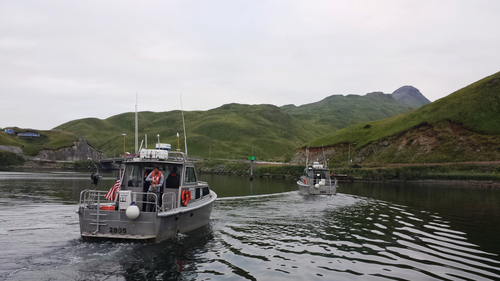
A two-for-one National Oceanic and Atmospheric Administration survey mission in Alaskan waters has small boats surveying approaches to the port of Dutch Harbor to update new charts for shipping safety.
The 231’x42’x15’6” NOAA survey ship Fairweather departed Dutch Harbor Aug. 9 for its FISHPAC offshore acoustic survey mission, running sonar along some 4,000 nautical miles. In addition to mapping fish habitat, the sonar will contribute soundings data to NOAA’s Institute of Coast Survey for new charts – a pressing need in the high latitudes where some areas have not been surveyed in many decades.
Left behind in Dutch Harbor are Fairweather’s four 28’ hydrographic survey launches (HSLs). While the mothership is offshore, a detached team of NOAA scientists, coxswains, and engineers are gathering complete coverage multibeam data in a project area of about 38 square nautical miles around Unalaska.
Some charted depths there have not been sounded since the 1930s – a historic handicap painfully borne out for Royal Dutch Shell. In July 2015, the 380’x85’x26’ icebreaking platform service vessel Fennica ran aground on an uncharted rock, just after leaving Dutch Harbor for Shell’s ill-starred attempt to drill in the Chukchi Sea.
The disabling of the Fennica was one more factor in Shell’s decision to pull back from the Arctic. Last summer the Fairweather altered its summer cruise schedule to mark out the suspect shallows and rocks. This year’s mission is a more comprehensive survey, requested by local pilots through the Coast Guard because of increasing traffic into the port.
The city of Unalaska is hosting pier space for all four launches for the project’s duration. The NOAA team has set up its base of operations at the Grand Aleutian Hotel, where a conference room serves as command center, processing each day’s data collections and preparing missions for the following day.
The Unalaska team will work until the Fairweather returns Aug. 27 to Dutch Harbor, to recover the launches and return to its homeport at Kodiak.


