In the last few months, the National Weather Service has made a small but noticeable change in the information sent to mariners via their regularly issued marine weather forecasts for the coastal waters of the U.S. East Coast.
The change involves swell information, both the direction and period. It has been routinely added to the normal wave forecasts, both in the online text forecasts and radio broadcasts. This is a significant positive step.
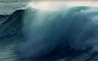
For those unfamiliar with swells, they are waves, typically somewhat smooth and rounded in appearance, that are generated by non-local winds. They can travel moderate to very long distances. Swells are distinct from local wind waves (the “normal” waves in your forecast), which are formed and driven by local winds and can change direction rapidly as the local wind direction and velocity changes. Swells, too, will change direction and size, but generally much more slowly than local wind waves do. In combination, these confused seas significantly increase the risk factor.
Those that sail bluewater (deep sea), coastwise in the Caribbean and, especially, the West Coast, are familiar with this phenomenon. Surfers are also familiar with it. On the East Coast it is typically associated with distant tropical cyclones. But non-tropical cyclones, often in the form of coastal nor’easters, can pack more than enough punch to generate big swells too.
The synergistic action of multiple, changeable wave trains coming from different directions at different wave periods (the time between passage of crests in seconds) is of particular concern to mariners. The separate wave trains collide at different angles, acting upon each other in unpredictable ways, and often amplifying each other’s size, steepness, or both. They can easily double up on you.
It can become impossible to get or keep your tow “in step” in these conditions. Sometimes lengthening the tow can help, and sometimes it doesn’t. Usually, the best thing to do is simply slow down, which is unpopular both ashore and afloat.


